Contact
- West Blvd, Racine, WI 53403
- traillink.com/trail/racine-county-bike-trail
The Racine/Sturtevant trail is a mostly off-road 3.5-mile trail through an abandoned rail corridor. The asphalt trail connects with the North Shore Trail at the eastern end and the Pike River Pathway at the western end. There are no designated parking areas for the trail, but access is at the trail endpoints at West Boulevard just north of 19th Street in Racine or Willow Road in Mt. Pleasant.
A trail map can be found at https://www.racinecounty.com/home/showpublisheddocument/1327/635997841583770000.
Browse The Map
Other Close Places of Interest
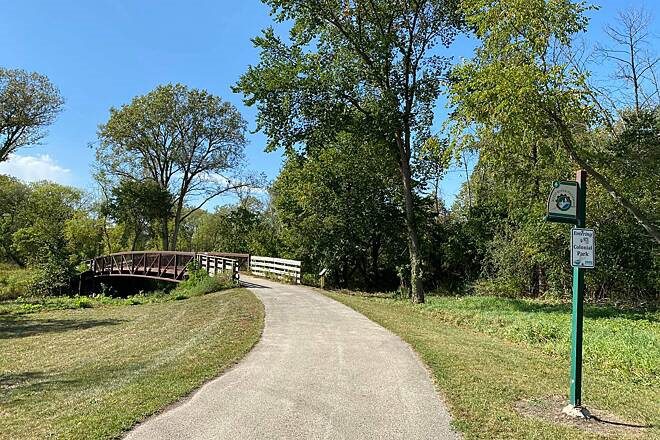
Root River Pathway
The Root River Pathway runs four miles from east to west, beginning at the Main Street Bridge and ending at Colonial Park. The trail passes many Racine attractions and also connects with the Milwaukee-Racine-Kenosha (MRK) Trail and North Shore Trail. Parking is available at most of the city parks
2300 W High St, Racine, WI 53404
B3 Skate Park
B3 Skate Park is an 18,000-square-foot skate park in Pershing Park for skateboards, inline skates and BMX bikes. Features include ramps, rails, street course and beginner’s area. The Park is open daily from 8 am to 10 pm.

800 Pershing Park Dr, Racine, WI 53403
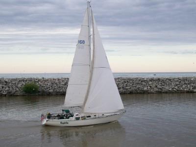
Great Lakes Sailing Charters
Set sail on Lake Michigan aboard the Espiritu, a 41-foot Newport sailing vessel. The Espiritu offers many comforts of home, including bathroom, full galley, and state-of-the-art electronics like HDTV, DVD, and CD player. The sailing season is May through October
1434 Main St, Racine, WI 53403